Essential Guide to Land Surveyors and Their Services

Land surveying is a critical profession that plays a fundamental role in numerous aspects of construction, property development, and land management. For anyone involved in land transactions, construction projects, or legal disputes related to land, understanding the work of Land Surveyors is paramount. This article provides a thorough overview of land surveying, the services provided by land surveyors, and their importance within the broader context of property and infrastructure development.
What Is Land Surveying?
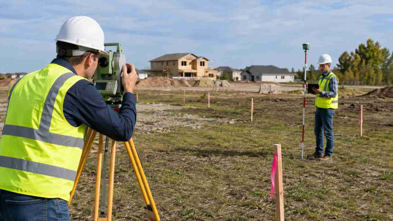
Land surveying involves the measurement and mapping of the earth’s surface to determine boundaries, create site plans, and assist in construction planning and legal matters. By collecting precise geographical data, surveyors establish property lines, topographical features, and infrastructure layouts. The accuracy and detail of this information are essential to ensure compliance with regulations and to prevent disputes.
The Role of Land Surveyors
Land surveyors are trained professionals who utilise specialised equipment and techniques to gather spatial data. Their role extends beyond basic measurement; they analyse geographic, legal, and environmental factors to provide comprehensive data relevant to clients’ needs. Surveyors interpret complex data, prepare maps and reports, and often provide expert testimony in legal cases.
Types of Surveys Conducted
Different projects require different types of surveys, including boundary surveys, topographical surveys, construction surveys, and subdivision surveys. Boundary surveys determine the legal limits of a parcel of land. Topographical surveys focus on physical features such as elevations and natural formations. Construction surveys provide layout data to ensure buildings and infrastructure are correctly positioned. Subdivision surveys divide land into plots for development or sale.
Technology in Land Surveying
The field of land surveying has advanced significantly with the integration of modern technology. Global Positioning Systems (GPS), Geographic Information Systems (GIS), drones, and laser scanning enhance the precision and efficiency of data collection. These technologies allow surveyors to cover large areas quickly and capture detailed, accurate information that is indispensable for planning and development.
Surveyors working with mapping software, GIS data, reports, and project files simultaneously can improve screen organisation by learning how to arrange desktops on Mac, making it easier to switch between technical applications and reference materials.
The Importance of Land Surveying Services
Accurate land surveys protect property owners’ rights and assist developers in adhering to regulatory standards. Survey results inform planning permissions, zoning decisions, and environmental assessments, helping to avoid costly errors and legal complications later in projects. For homeowners, surveying can identify encroachments and clarify ownership boundaries.
Surveying in Property Transactions
When buying or selling land or property, having a clear understanding of boundaries is crucial. Surveyors confirm the extent of land ownership, which helps prevent disputes with neighbours after transactions are completed. Additionally, surveys can reveal easements, rights of way, and any restrictions affecting the land.
Survey findings can also support the legal transfer process, making a Brisbane conveyancing guide useful for understanding how property documents, title checks, settlement requirements, and ownership changes are handled during a transaction.
Surveyors and Legal Disputes
Land disputes are common and can be complex. Surveyors provide critical evidence by producing accurate and detailed surveys, maps, and reports that can be presented in court to resolve conflicts. Their impartial, professional expertise is often essential to reaching fair outcomes.
How to Choose a Land Surveyor
Selecting a qualified land surveyor is a vital step in any project involving land measurement or mapping. Key factors include professional accreditation, experience in the relevant type of surveying, reputation, and familiarity with local laws and regulations. A reputable firm will ensure the delivery of high-quality and reliable surveying services.
Professional Accreditation and Experience
Verified qualifications and registration with professional bodies ensure the surveyor adheres to industry standards and ethical guidelines. Experience in specific types of surveys and familiarity with local geographical and legal issues provide additional assurance of competence.
Service Range and Technology
Modern surveying projects often require advanced technology and a variety of survey types. Choosing a land surveying firm that offers a broad range of services and uses the latest equipment is beneficial for achieving precise results and timely completion.
Applications of Land Surveying
Land surveying underpins a wide array of applications across industries. Civil engineering projects rely on surveys for drafting roadways, bridges, and utility lines. Urban planning requires detailed geographical data to evaluate land use and infrastructure needs. Environmental assessments need accurate land data to determine the impact of development on ecosystems.
Construction and Development
Before construction begins, surveys establish reference points and guide the placement of structures to comply with design specifications and regulatory requirements. Continuous surveying during construction helps monitor progress and maintain quality and safety standards.
Land Use Planning
City planners use survey data to design efficient layouts for residential, commercial, and industrial zones. This data supports decisions related to public transportation, utilities, green spaces, and community facilities, promoting sustainable development.
Challenges in Land Surveying

Surveyors face challenges such as difficult terrain, weather conditions, and urban congestion. Navigating legal complexities and managing large volumes of data also require expertise and careful attention to detail. Despite these challenges, advances in technology continue to improve accuracy and efficiency.
Conclusion
Land surveying is a vital service that supports property ownership, urban development, legal clarity, and environmental management. Professional Land Surveyors provide the accurate data and advice necessary for confident decision-making in numerous fields. Engaging qualified surveyors ensures precise results and compliance with legal and regulatory frameworks, helping to safeguard investments and promote responsible land use.